
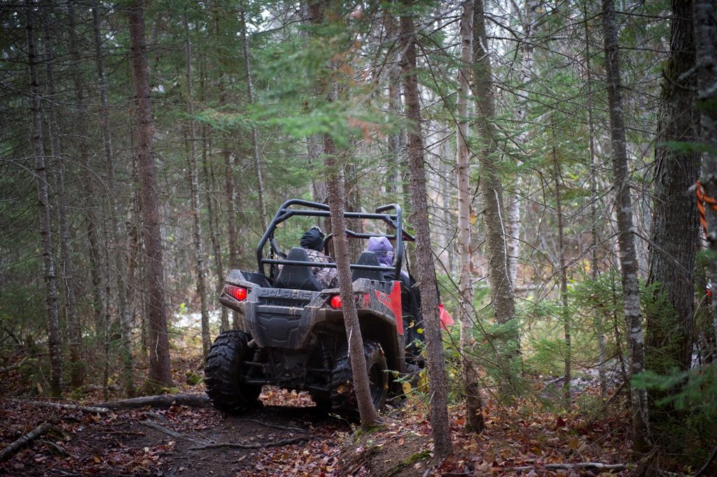
Michigan residents have until Aug. 31 to help the Department of Natural Resources decide which state forest roads will be open or closed to off-road vehicles in 2020.
The DNR updates its online forest roads map every year on April 1, indicating which roads are open to ORV use. People can share their suggestions at any time throughout the year. Department proposals to change the map are made based on road inventories and that ongoing public input process. Any input received after Aug. 31 would be captured for proposed updates to the 2021 state forest roads map.
“This process and the interactive web map ensure people can easily learn about accessing and using public lands. They also encourage public involvement in the forest road decisions,” said Shannon Hanna, DNR natural resources deputy director.
Providing input
The DNR forest roads web map is available at Michigan.gov/ForestRoads and lets visitors share feedback directly on the map. Comments also may be sent to DNR-RoadInventoryProject@Michigan.gov or to local DNR offices.
Proposed changes to the open/closed status of state forest roads for ORV or conventional vehicle use will be available for public review and comment in the fall. After public review, the DNR director will approve the final forest roads map at a future meeting of the Michigan Natural Resources Commission.
Proposing changes
Types of changes that could be proposed might include decisions to open or close a road to ORV use, close a road to all conventional vehicles or modify a road to reflect its condition.
Typical reasons for closures are to protect resources that have been damaged by motorized use, to ensure public safety (due to conditions like a bridge being out) or to correct map inventory inaccuracies (such as a road that no longer exists on the ground but does appear on a map).
The comprehensive forest roads inventory and interactive web map emerged from work resulting from Public Act 288 of 2016, which encourages people to enjoy Michigan’s public lands by enhancing ORV opportunities throughout the state.
Printable county maps showing the current status of area roads also are available on the state forest roads webpage, grouped by the Upper Peninsula, northern Lower Peninsula and southern Lower Peninsula regions.